Dr. Andrew Kozlowski
B.S. Geology, minor in Geography (1995, SUNY Cortland)
M. S. Geoscience Hydrogeology (1998, Western Michigan University)
PhD. Geoscience emphasis: Glacial Geology & Geologic Mapping (2004, Western Michigan University)
My research focuses on geologic mapping of sediments deposited and landforms created during the Pleistocene epoch (2.6 million - 11,700 years ago), the most recent time that episodes of global cooling, or ice ages, took place. Much of the world's temperate zones were alternately covered by glaciers during cool periods and uncovered during the warmer interglacial periods when the glaciers retreated.
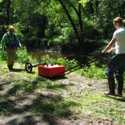
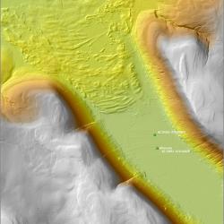
I utilize field mapping, exploratory drilling and coring, geophysical methods and age dating (geochronology) to better understanding of three-dimensional geologic frameworks of glacial deposits and reconstruct former positions and locations of glaciers in New York State. It is my long term research goal to provide better understanding and resolution of glacial stratigraphy and glacial chronology in New York State and the Great Lakes Region.
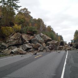
My work directing the geologic mapping program in the State Museum and Quaternary research helps to address societal and land use issues for example geologic hazards such as landslides, water quality & resources, and aggregate resources, etc. most of which are the direct result of repeated glaciations.
My Research Projects
Publications
- ‹ previous
- 9 of 9


